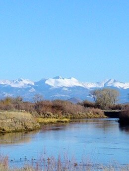
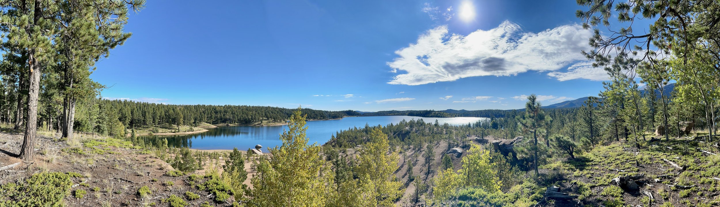
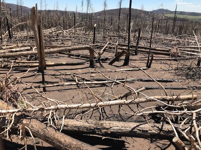
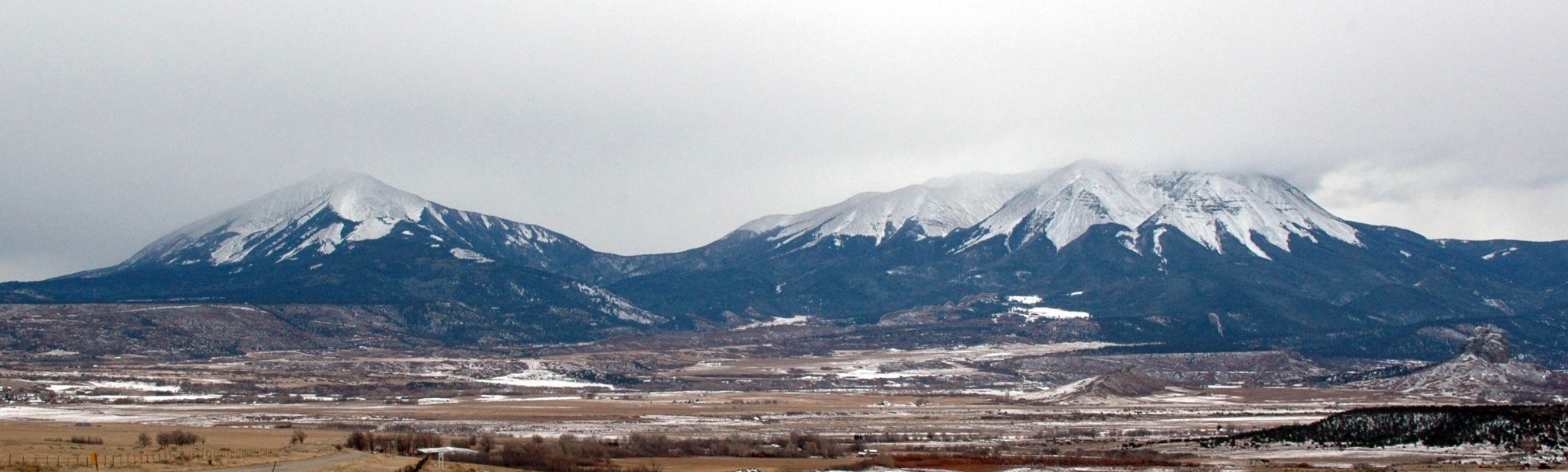
Project List

Arkansas Headwaters Wildfire/Watershed Assessment

Aurora Source Water Protection Plan
Bark Beetle Incident Watershed Assessments
Big Thompson Forest Health Assessment
Big Thompson Wildfire/Watershed Assessment
Blue River Wildfire/Watershed Assessment
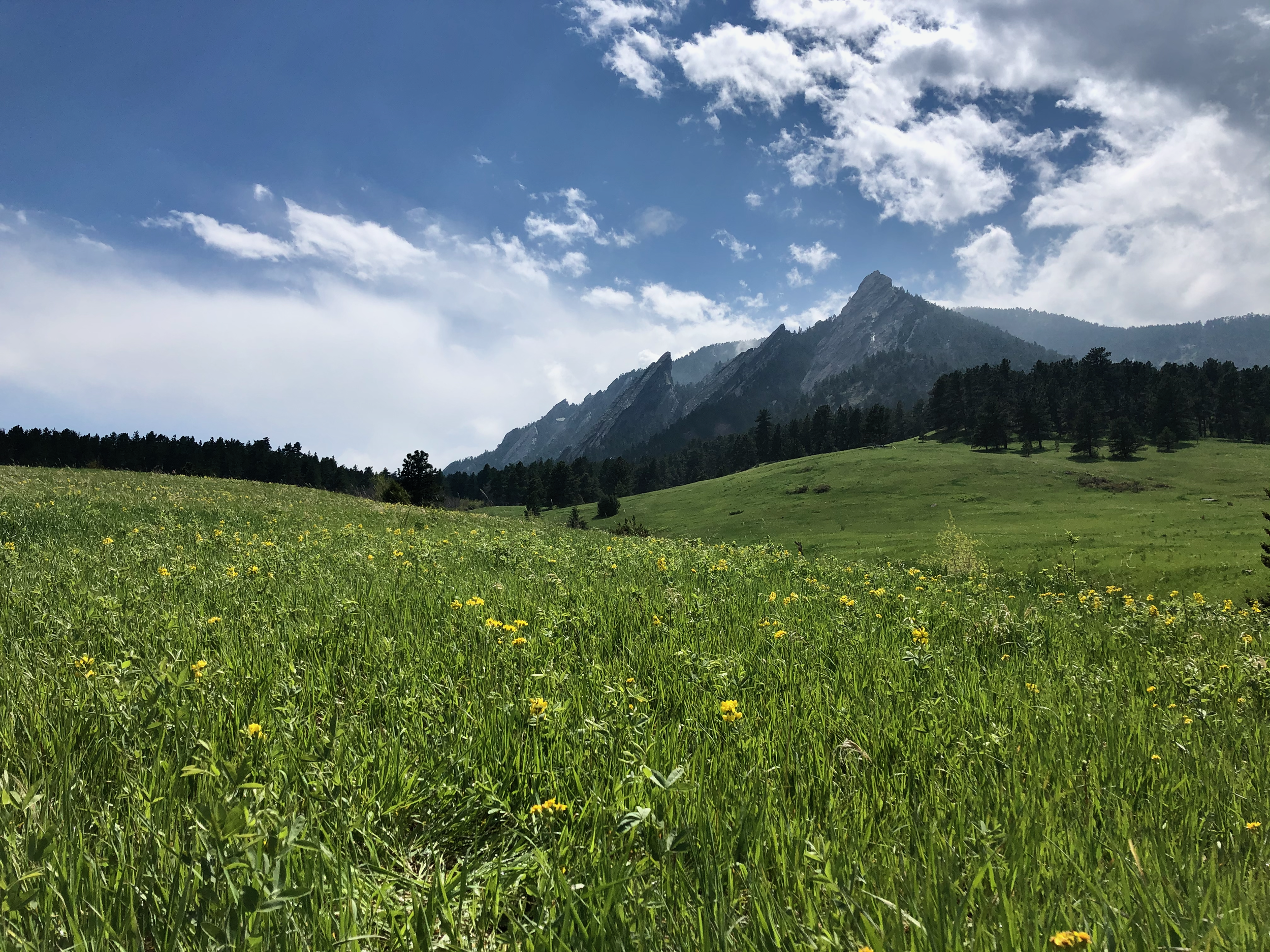
City of Boulder Pre- & Post-wildfire Planning
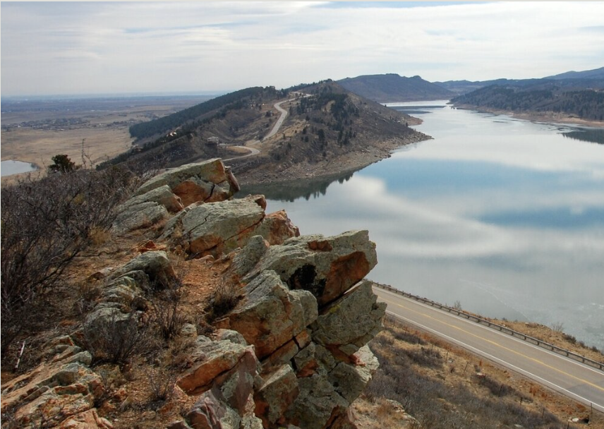
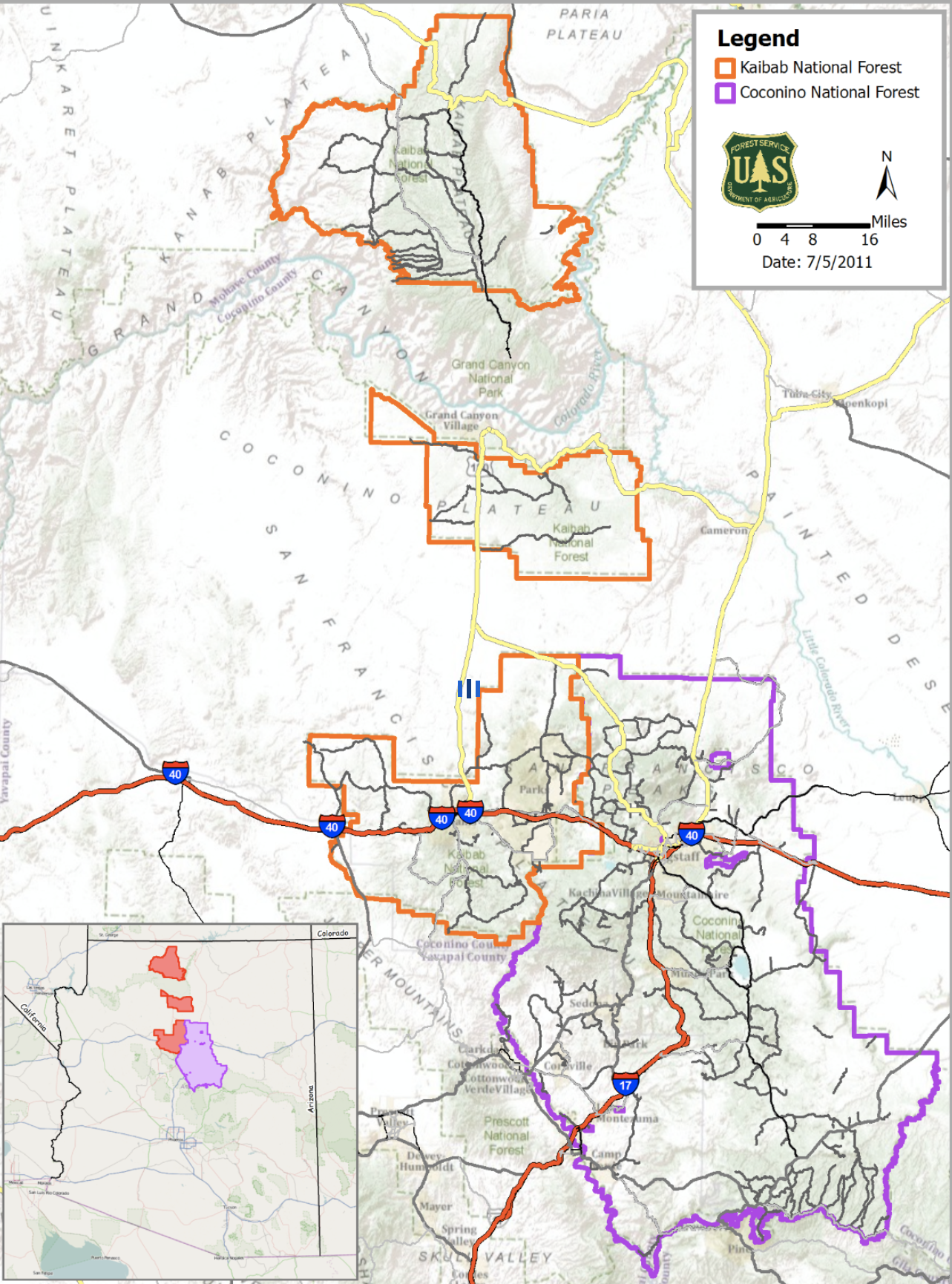
Cache La Poudre Wildfire/Watershed Assessment

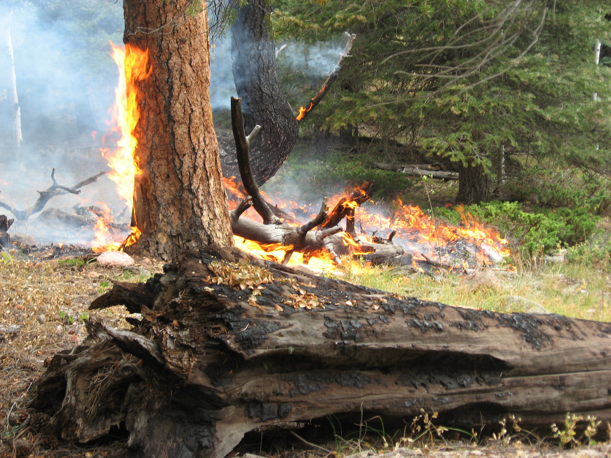
Cameron Peak Post-Fire Mitigation
Catamount Forest Health & Hazardous Fuels Reduction
Cheyenne Board of Public Utilities Wildfire Emergency Response Plan
Colorado-Big-Thompson Headwaters Partnership

Colorado Springs Utilities Watershed Partnership

Colorado Springs Utilities WRAP
Colorado Wolf Management Plan
Crossons-Longview Forest Restoration Environmental Assessment

Dollar Ridge Fire
East-Central Wet Mountains Forest Health & Hazardous Fuels Reduction
East Troublesome Post-fire Mitigation

Hewlett Gulch Fire Watershed & Seaman Reservoir Protection
High Park Fire Watershed Protection & Restoration
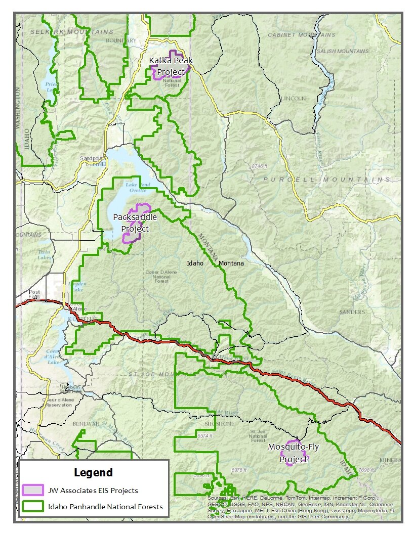
Idaho Panhandle National Forests - Environmental Impact Statements
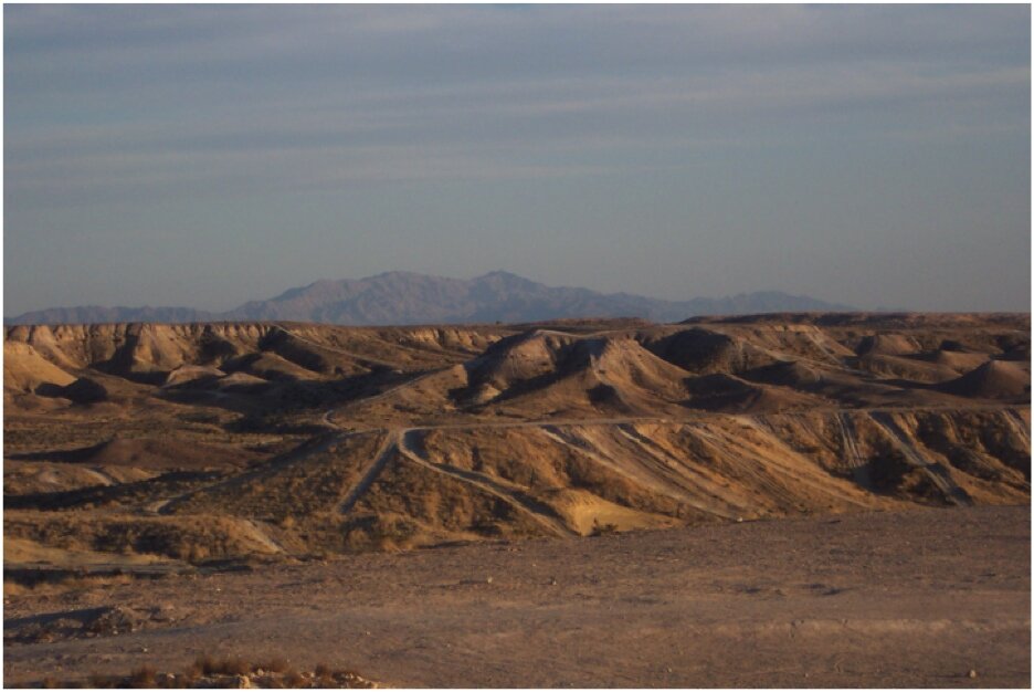
Nellis Dunes OHV Recreation Area
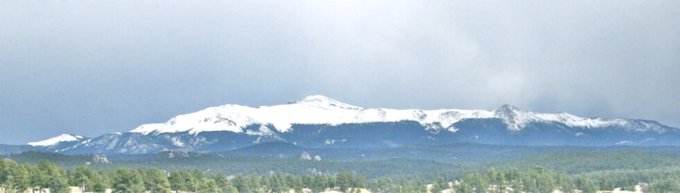
Pikes Peak Wildfire/Watershed Assessment
Rock Pits Environmental Assessment
Sage Steppe Ecosystem Restoration Strategy EIS

Saint Vrain Wildfire/Watershed Assessment
Salt Lake City Watershed Management Plan
San Luis Valley Wildlife Refuge Complex
South Platte Headwaters Wildfire/Watershed Assessment
Spring Creek Fire - Costilla County Watershed Protection & Treatment Prioritization

Upper Arkansas Wildfire/Watershed Assessment

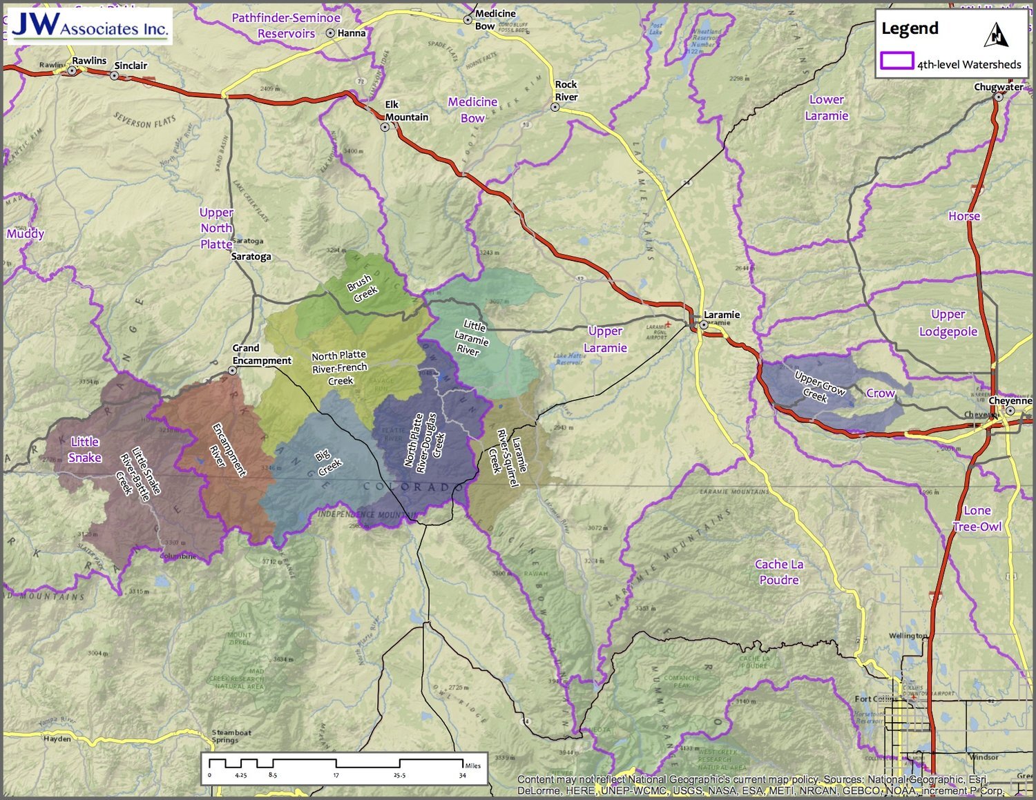
Upper Colorado Headwaters Wildfire/Watershed Assessment
Upper Cucharas River Watershed Pre-fire Assessment & Treatment Identification
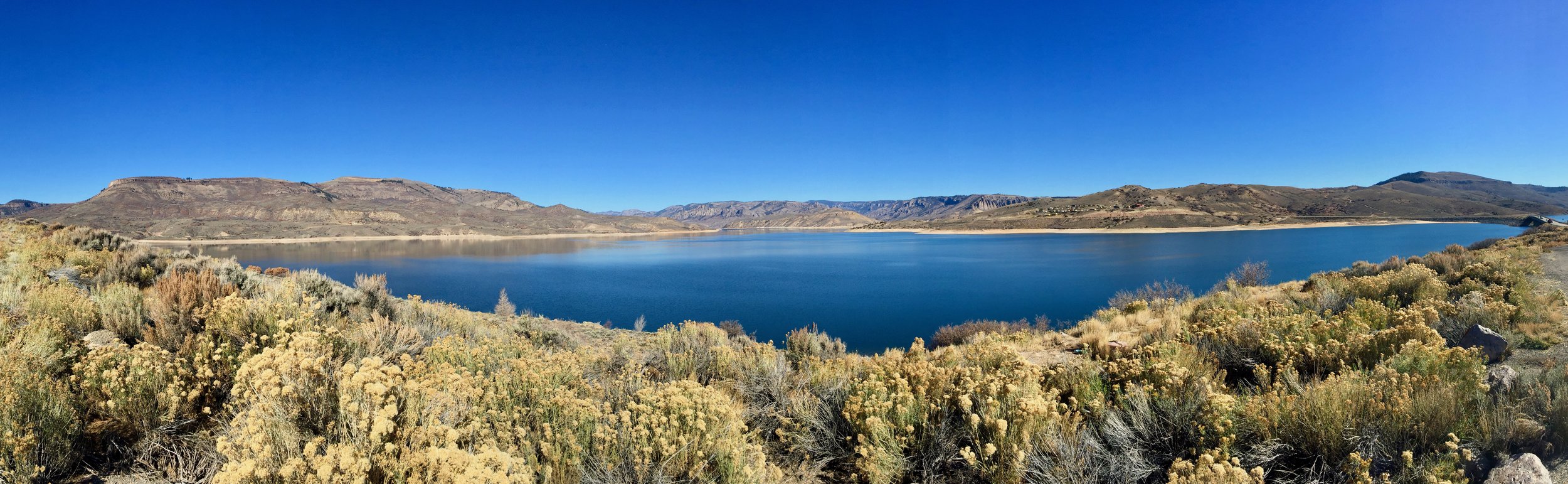
Upper Gunnison Watershed Hazard Assessment

Upper Poudre Watershed Resilience Plan

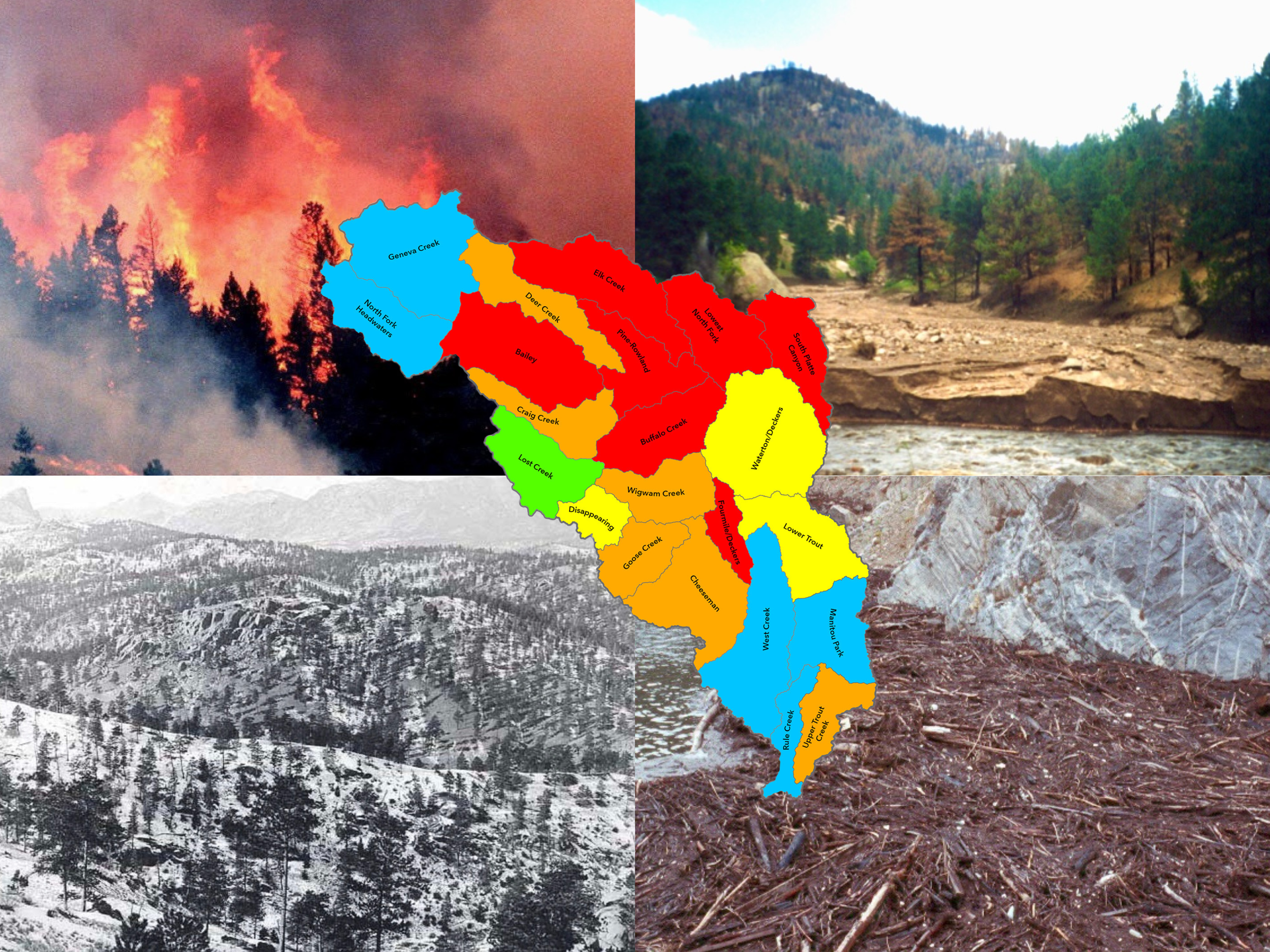
Upper South Platte Wildfire/Watershed Assessment
Watershed Wildfire Protection Group
